Northwest Passage Explained
From centuries-old dreams of a short cut to Asia to Amundsen's little sloop Gjøa, the story of the Arctic sea route through Canada.
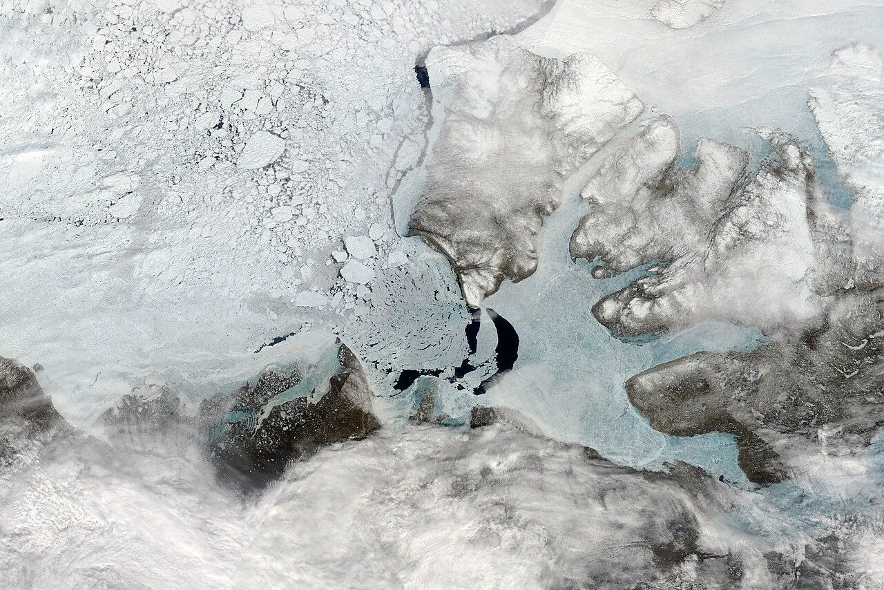
The Northwest Passage is the sea route running through Canada's Arctic Archipelago, linking the Atlantic and Pacific Oceans. For centuries European powers sought it as a shortcut to Asia; it was first sailed from end to end by Roald Amundsen in 1903–06, and it remains a hazardous Arctic passage even today.
Why Explorers Searched for It
Britannica dates the quest to the end of the 15th century, when explorers looked for a commercial sea route around the American land barrier on the way to Asia. Royal Museums Greenwich explains the prize: a northern route would shorten the time and cost of sailing to markets such as India and China, instead of going the long way round Africa or South America. A number of noted navigators were drawn to the search, including Jacques Cartier, Francis Drake, Martin Frobisher and James Cook.
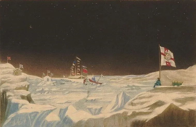
The catch was sea ice. Royal Museums Greenwich notes that ice blocked the channels between the islands in winter, stayed frozen in bad summers, and could damage or crush ships. The most famous casualty was John Franklin's expedition of 1845, which cost the lives of all 129 men.
The Route in Plain Words
The Northwest Passage is not one straight channel but a series of deep channels through the Arctic Archipelago. Britannica gives the main stretch as about 900 miles (1,450 km) from east to west, from north of Baffin Island to the Beaufort Sea off northern Alaska. The Scott Polar Research Institute, which keeps the record of transits, lists seven principal routes. All of them enter from Davis Strait or Hudson Strait in the east and leave through the Beaufort Sea, Chukchi Sea and Bering Strait in the west. The main options are:
- The northern way: Lancaster Sound, Barrow Strait and Viscount Melville Sound, then out through McClure Strait, north of Banks Island. It is the shortest and deepest route, but the ice there is the worst.
- The Prince of Wales Strait variant: the same start, then south between Banks and Victoria Islands into Amundsen Gulf, which can avoid the heavy ice of McClure Strait.
- The southern ways: down Peel Sound or through the narrow Bellot Strait between Somerset Island and the Boothia Peninsula, then past King William Island via Victoria Strait, or via Rae and Simpson Straits for smaller boats, and along the mainland coast through Coronation Gulf to Amundsen Gulf. These are the routes most ships use.
The First Crossings and the Passage Today
The Scott Polar Research Institute records the earliest traverse as completed in 1853 by Robert McClure's party, starting from the Pacific side, but only by using sledges over the sea ice of the central channel. Amundsen is remembered as the first to make the transit by ship. His small sloop Gjøa left Norway in June 1903, spent two winters at Gjøa Haven on King William Island and a third at King Point on the Yukon coast, and reached Nome, Alaska, at the end of August 1906. Amundsen did not complete the transit in a single season; like every navigator before him, he had to overwinter in the ice.
The next milestone was the Royal Canadian Mounted Police schooner St. Roch under Henry Larsen. She made the first west-to-east transit in 1940–42, overwintering on the way, and in 1944 sailed back from east to west in 86 days, the first ship to complete the passage in a single season and the first to make it in both directions.
Today, Royal Museums Greenwich says, the Northwest Passage is sufficiently ice-free for ships to pass through and is accessible to commercial shipping, shaving hundreds of miles off sailing routes between the Atlantic and Pacific. It still remains hazardous because of shifting ice, and the navigable window is limited to the summer season before the channels freeze again. The waters are passable, but that does not make them safe.