Taking OS Grid References
Along the corridor, then up the stairs: a plain guide to reading four and six-figure National Grid references from a paper map.
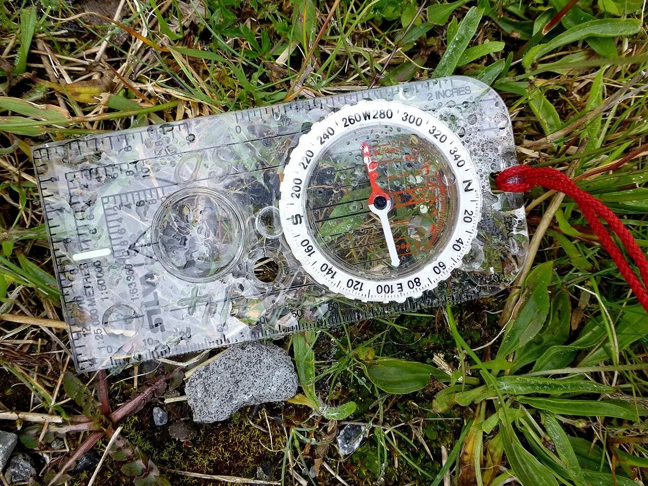
A grid reference is a quick way to name a location on the Ordnance Survey's National Grid: give the easting first, then the northing, and a six-figure reference pins you to a 100-metre square. That is, as the Ordnance Survey advises, you should remember "along the corridor, then up the stairs".
How the National Grid works
Great Britain is covered by grid squares measuring 100 km across, each identified by two letters, such as TL or SZ. On any OS map, those big squares are divided by blue grid lines into squares of 1 km. The vertical lines are eastings, and their numbers increase as you travel east; the horizontal lines are northings, and their numbers increase as you travel north.
The 'corridor' is the easting, read along the bottom or top edge of the map, while the 'stairs' are the northing, read up the side. To give a four-figure reference, find the bottom left-hand corner of the square you want: write down the two-figure number of the easting line on its left, then the two-figure number of the northing line along its bottom. Ordnance Survey's own example is TL 6233, which identifies a single 1 km square.
From four figures to six
To pinpoint a place within the 1 km square, imagine the square divided into 100 tiny squares, with 10 along each side. This imaginative step is key to giving the correct six-figure reference.
Start by writing the four-figure reference with a gap after each pair, like 62_ 33_. Then count how many tenths across the square your point lies and put that digit after the easting, and how many tenths up it lies and put that digit after the northing. A point five tenths across and three tenths up becomes 625 333. The first three figures always describe how far east you are, and the last three how far north.
Add the two letters, TL 625 333, and the reference is unique in Great Britain, identifying a square of 100 metres. An eight-figure reference narrows that to 10 metres, a precision many GPS devices display.
Why rescue teams still ask for it
An Ordnance Survey grid reference is of significant value when you need to identify a location accurately. In an emergency on the hills, Mountain Rescue England and Wales advises calling 999 or 112, asking for the Police and then Mountain Rescue, and being ready to give your location, with a grid reference if possible. Say the letters and figures slowly and repeat them, and stay where you are until the team contacts you.
If you're carrying a smartphone, free GPS locator apps, including one built into Ordnance Survey's own mapping app, will display your grid reference using the phone's GPS rather than a mobile signal. They are a useful check, but a battery can die and a screen can fail in the cold, so it pays to practise reading a reference from the paper map too. With such a specific pinpoint, rescue can arrive more quickly and spend less time searching.